Coastal Geomatics & Technology
With more than 75 years of combined experience, APTIM is a leader and major provider of hydrographic and topographic survey services for both government and private clients in various coastal states. We strive to maintain cutting edge technologies, methods, and reporting standards to our clients and regulators.
Coastal Geomatics Experts Ready to Survey Your Site
Our coastal geomatics and technology team offers a full range of professional land surveying, hydrographic surveying, geodetic control establishment, geophysical surveying, and GIS database services using multiple terrestrial, marine, and aerial survey platforms.
- Land Surveying: We offer the following land surveys.
- Topographic Surveys
- Pipeline Route Surveys
- Energy-related Surveys
- Coastal Monitoring and Resilience Surveys
- Hydrographic Surveying: APTIM has collected thousands of miles of hydrographic data in the Atlantic Ocean, Gulf of Mexico, and interior waters. We provide coastal multibeam sonar.
- Control Establishment: APTIM has established high-order geodetic control across the Gulf Coast, Southeast U.S., and the Bahamas. We adhere to all National Geodetic Surveys Standards and Specifications for Establishment of Geodetic and Tidal Control.
- Mean High Water and Coastal Boundaries: APTIM has vast experience with riparian rights issues, as well as other property and boundary law and impacts on coastal projects and construction. We have worked closely with State Agencies to establish numerous Erosion Control Lines across the state of Florida.
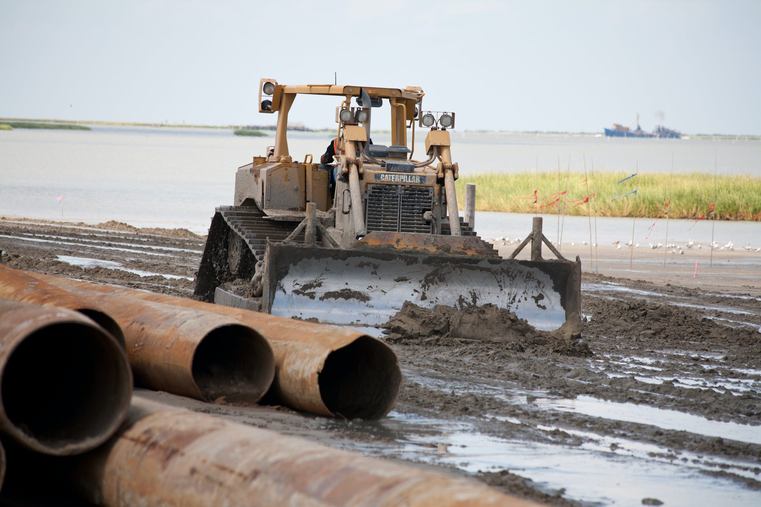
APTIM provides this work across a variety of challenging environments, including upland urban areas, remote wetlands, forested lands, low-lying coastal zones, as well as inshore and offshore waterbodies. As a result, we have collected thousands of beach profiles and thousands of miles of hydrographic data.
Survey Vessels and Technology
APTIM uses the latest technologies to provide cost effective, time-efficient, and powerful survey products to the most demanding end-users. We maintain a fleet of survey vessels with complete hydrographic technology suites, including:
- Multibeam Sonars
- Real-Time Kinematic or Differential Navigation
- Dynamic Motion Devices and Inertial Measurement Units
- State-of-the-art 3D Laser Scanning Sonar Systems
- Unmanned Aerial Vehicles (Drones)
- Acoustic Doppler Current Profilers and Other Multi-parameter Sondes
Comprehensive Portfolio for Coastal Protection
APTIM’s coastal sciences and engineering service line also includes work for the following submarket disciplines:
APTIM. In Pursuit of Better.